![]() Lightbox
Lightbox
![]() Email
Email
- ID: 4271
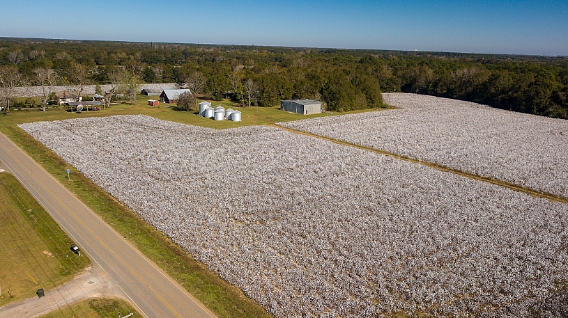
- Keywords: baldwin county, cotton field, crop, farm, farmer, highway 181
- Copyright: Tad Denson - Airwind, Inc.
- Filename: BaldwinCottonField_08.jpg
- Colors:
- Owner: Airwind, Inc. / MyStockShotz.com
- Media Types: Photos
- Digital Downloads
- Prints
Web / Presentation size (1000 px longest side)
License: Extended
Resolution: 1000 x 562 px ( 3.3" x 1.9" @ 300 dpi )
Format: .jpg
$35.00
Medium size (1500 pixels longest side) 300dpi
License: Extended
Resolution: 1500 x 842 px ( 5" x 2.8" @ 300 dpi )
Format: .jpg
$75.00
Large (2500 pixels longest side) 300dpi
License: Extended
Resolution: 2500 x 1404 px ( 8.3" x 4.7" @ 300 dpi )
Format: .jpg
$100.00
- Similar Media
- Comments
- IPTC
- EXIF
- Date Created: 2017-11-23 00:00:00
- :
- Job Identifier: Stock library
- Creditline: Tad Denson
- Description Writer: Tad Denson
- Copyright Notice: © Tad Denson - Airiwnd, Inc.
- Filename: BaldwinCottonField_08.jpg
- File Date/Time: 1595981016
- File Size: 6936922
- File Type: 2
- Mime Type: image/jpeg
- Sections Found: ANY_TAG, IFD0, THUMBNAIL, EXIF, GPS
- Make: DJI
- Model: FC220
- Orientation: 1
- XResolution: 3000000/10000
- YResolution: 3000000/10000
- Resolution Unit: 2
- Software: Adobe Photoshop 21.2 (Macintosh)
- Date/Time: 2020:07:28 17:48:15
- Exif IFD Pointer: 276
- GPS IFD Pointer: 872
- Exposure Time: 1/750
- FNumber: 22/10
- Exposure Program: 58655
- ISO Speed Ratings: 100
- Exif Version: 0230
- Date/Time Original: 2017:11:23 11:48:54
- Date/Time Digitized: 2017:11:23 11:48:54
- Shutter Speed Value: 9550747/1000000
- Aperture Value: 2275007/1000000
- Metering Mode: 2
- Flash: 32
- Focal Length: 470/100
- Color Space: 1
- Exif Image Width: 3992
- Exif Image Length: 2242
- GPS Latitude Ref: N
- GPSLatitude 0: 30/1
- GPSLatitude 1: 3079425/100000
- GPSLatitude 2: 0/1
- GPS Longitude Ref: W
- GPS Longitude 0: 87/1
- GPS Longitude 1: 45067013/1000000
- GPS Longitude 2: 0/1
